Rice University
Rice University: Cynthia Lanius: Mathematics of Cartography
Can there be a connection between map making and math? Explore the mathematics of cartography in this resource that integrates web-based instruction, mathematical problem solving, geometry, history, and art. Interesting information and...
Cynthia J. O'Hora
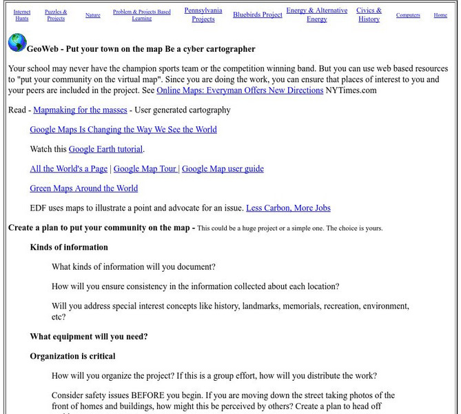
Mrs. O's House: Geo Web: Be a Cyber Cartographer
Take a close look at the resources provided and consider how students can put their school and/or community on the map. Discover cartography, virtual mapping, and points of interest in town or of the school.
Texas Instruments
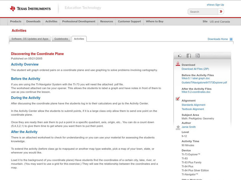
Texas Instruments: Discovering the Coordinate Plane
The student will graph ordered pairs on a coordinate plane and use graphing to solve problems involving cartography.
PBS
Kamchatka: Bering Island
PBS television has aired "Kamchatka: Siberia's Forbidden Wilderness" and this website summarizes that film. In it explores Bering Island, which was discovered by Vitus Bering who died there in 1741. It details the week long events of...
EL Education
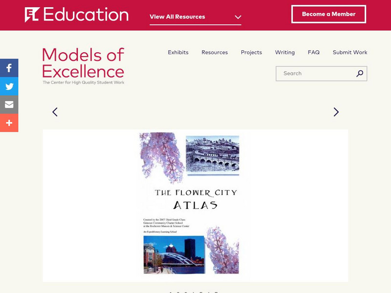
El Education: Flower City Atlas
3rd grade students in Rochester, New York, created this historical/environmental guide to the City of Rochester as part of a learning expedition on local history. The guiding questions were: How did Rochester become the Flower City? How...
Internet History Sourcebooks Project
Fordham University: History Sourcebook: France 1360 the Peace of Bretigny
This Fordham University map shows France's boundaries in 1360, which lands were ceded to Edward, and the path of his march to Calais.
Internet History Sourcebooks Project
Fordham University: History Sourcebook: France in the Late 15th Century
France 1461 is divided into various duchies, provinces, and these are marked with the names of their rulers (i.e., the Duc d'Alencon).


