University of Texas at Austin
The Perry Castaneda Library Map Collection
This collection contains more than 250,000 maps covering all areas of the world, and ranging from political and shaded relief maps to the detailed and the historical. Select from a region of the world or an area of highlighted interest.
University of Texas at Austin
Perry Castaneda Library Map Collection: Israel
The Perry-Castaneda Library at the University of Texas provides an outstanding collection of maps of the country of Israel. Also links to maps from other online sources.
University of Texas at Austin
Perry Castaneda Library Map Collection: Japan
The Perry-Castaneda Library at the University of Texas provides an outstanding collection of maps of the country of Japan. Also links to maps from other online sources.
University of Texas at Austin
Perry Castaneda Library Map Collection: Iran
The Perry-Castaneda Library at the University of Texas provides an outstanding collection of maps of the country of Iran. Also links to maps from other online sources.
University of Texas at Austin
Perry Castaneda Library Map Collection: Iraq
The Perry-Castaneda Library at the University of Texas provides an outstanding collection of maps of the country of Iraq. Also links to maps from other online sources.
University of Texas at Austin
Perry Castaneda Library Map Collection: Indonesia
The Perry-Castaneda Library at the University of Texas provides an outstanding collection of maps of the country of Indonesia. PDFs (require Adobe Reader).
NPR: National Public Radio
Npr: 2008 Election Map of Primaries
Great interactive map that shows primary and caucus results for the 2008 Presidential election plus House, Senate, and Governor elections. Click on a state for up to date news stories.
United Nations
Unesco: Interactive Map of the Cities Along the Silk Roads
A map showing the locations of cities that participated in trade along the Silk Roads, stretching from Italy to Japan. Each red dot is provides information about the location and links to a UNESCO page with more in-depth information...
University of Texas at Austin
Perry Castaneda Library Map Collection: u.s. Maps
At this site find any type of map on the U.S. and any of its states here. Great site for teachers to print out maps to use in the classroom.
Other
Arkansas Department of Parks and Tourism: Arkansas Virtual Regional Map
Take a virtual tour of Arkansas by clicking on each of its major regions .. the Ozarks, River Valley, Central, Delta, Timberlands, and the Ouachitas region. Terrific photos, video clips, maps, and descriptive information is included for...
National Geographic
National Geographic: My Wonderful World: World Wall Maps (Pdf)
Make your own full color or black and white mosaic wall map on your own printer. World maps, continents, Asian regions, and oceans are available for downloading, printing, and assembling.
University of Alberta
University of Alberta: The Canadian Northern Railway Maps
This collection of maps details the railway system in Western Canada in 1916. Viewer can zoom in on the maps for added detail.
Read Works
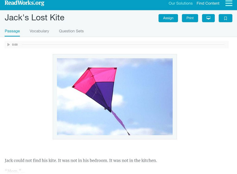
Read Works: Passages: Paired Text: "The Treasure Map"
[Free Registration/Login Required] This paired text focuses on the theme of Discovery; it includes two reading passages, "Jack's Lost Kite" and "The Treasure Map," comprehension questions for each passage, and a combined set of questions...
Enchanted Learning
Enchanted Learning: Pennsylvania: Facts, Map, and State Symbols
A list of key facts about the state of Pennsylvania, including information about Pennsylvania's state symbols. Useful extras for teachers include black-line masters of concept diagrams, maps, and thought organizers.
Mathigon
Mathigon: Graphs and Networks: Map Colouring
This lesson focuses on map coloring and the problem of proving that 4 colors would work for all maps. Francis Guthrie had to color a map of counties in England. He observed that four colors seemed to suffice for any map he tried, but he...
Microsoft
Microsoft: Map Reading in the 21st Century
Students learn how to make informed use of new digital mapping information and tools. Learners create hands-on learning experiences for understanding the relevance of maps. The lesson plan consists of student activities, resources,...
CK-12 Foundation
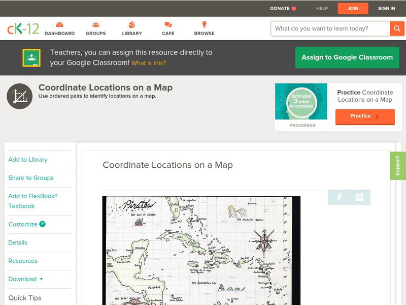
Ck 12: Algebra: Coordinate Locations on a Map
[Free Registration/Login may be required to access all resource tools.] Find points on a map using integer coordinates.
PBS
Pbs Learning Media: Mapping Landforms and Water Bodies: Lesson Plan
Learn about different landforms and water bodies and the various characteristics that make them distinct from one another in this lesson plan from WGBH. Navigate around a virtual island to unlock information -- including videos and...
Math Science Nucleus
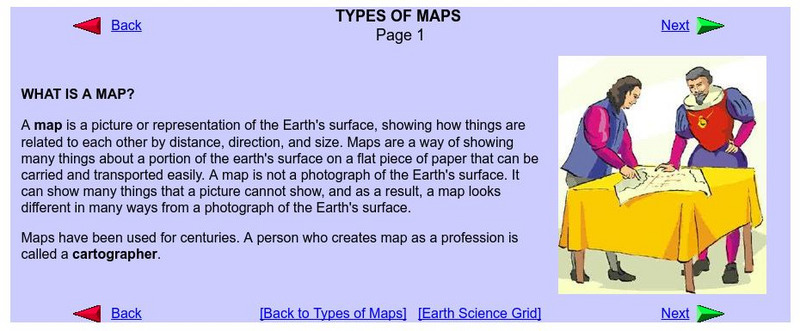
What Is a Map?
Do you want to know what a map is? If you look here, you will find why we have them and their uses.
Wisconsin Response to Intervention Center
Wisconsin Rt I Center: Semantic Maps for Word Learning [Pdf]
Classroom teachers will learn about semantic maps, an engaging instructional strategy tool. Teachers will learn how to implement semantic maps, understand how to measure progress with semantic maps, find research that supports semantic...
Wisconsin Response to Intervention Center
Wisconsin Rt I Center: Character Map [Pdf]
Teachers will learn about importance of character maps. Teachers will learn how to implement character maps; measure progress with character maps; and find research to support the use of character maps. Several reproducible character...
Wisconsin Response to Intervention Center
Wisconsin Rt I Center: Event Map [Pdf]
Teachers will learn how to use event maps with students. They will learn how to implement event maps with literary and informational texts; measure progress with event maps; and find research to support event maps. A reproducible event...
Other
The World of Dante: Map Images
Interactive map images from Dante's "Inferno." With reproduced maps of Italy from the time of Dante's life (1300s).


