Public Schools of North Carolina
Democratic Republic of Congo - Map Skills
Work on your map skills with a packet of activities about the river basins in the Democratic Republic on Congo. Learners study the maps provided before answering the geography questions and writing an acrostic poem about the region.
Owl Teacher
Five Themes of Geography Book Project
Young geographers choose a country to research and design a book explaining how their country applies to the five themes of geography, including three facts or details for each of the themes.
Curated OER
Cause and Effect: Light Clusters and Geography
After viewing a map of lights at night over a variety of geographic formations, young topographers connect the location of light clusters to geographic features that encourage human settlement. They list causes and effects of large...
Curated OER
Map of Africa
Using a completed map (not provided), pupils will use this map to fill in the geographic features of Africa. An appropriate map can be printed using the Internet and placed under a document camera for the class to reference.
Curated OER
Exploring California's Regions
Students participate in small groups to create a California's Region map. They research and identify the climate, geographic features, and one or two special features of their assigned region.
Curated OER
Cause and Effect Worksheet
In this cause and effect worksheet, students list the causes of the effect of a large group of lights, then write the effect, and 3-4 detailed sentences about what they observed. Students complete 2 pages.
Alabama Learning Exchange
Forces that Change the Land
Students conduct Internet research find information about the following landforms: mountains, canyons, and valleys. They create travel brochures of their findings.
Curated OER
Watershed Island
Students make a clay model and a geographic map of a watershed. They talk about the differences between the two representations and the potential human threats to watersheds.
Houghton Mifflin Harcourt
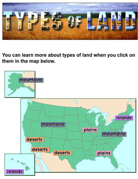
Harcourt: School Publishers: Types of Land
This clickable map of the United States defines different geographic features such as mountains, plains, islands, and deserts.
Other
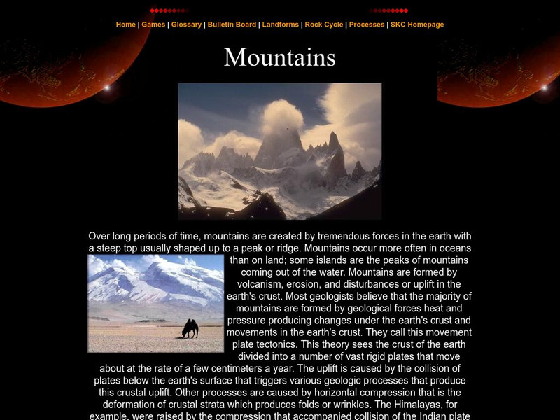
Southern Kings Consolidated School: Mountains
Site from the Southern Kings Consolidated School about mountains. Learn what mountains are and how they form.


