NOAA
Noaa: Estuaries 101 Curriculum: Observing Estuaries:
Students investigate landforms and features associated with estuaries by taking a journey down a river to an estuary system where the river empties into the Gulf of Mexico near Weeks Bay. They will use Google Maps and other resources to...
Houghton Mifflin Harcourt
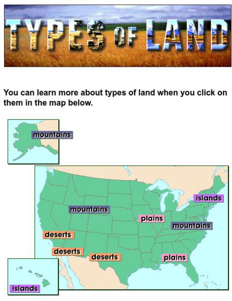
Harcourt: School Publishers: Types of Land
This clickable map of the United States defines different geographic features such as mountains, plains, islands, and deserts.
Science Education Resource Center at Carleton College
Serc: The Science of Puddles
Students will look at their schoolyard and determine where a puddle will form after a heavy rain. They will map the school yard and draw chalk lines to demonstrate their predictions. After a rain children will check their predictions and...
Other
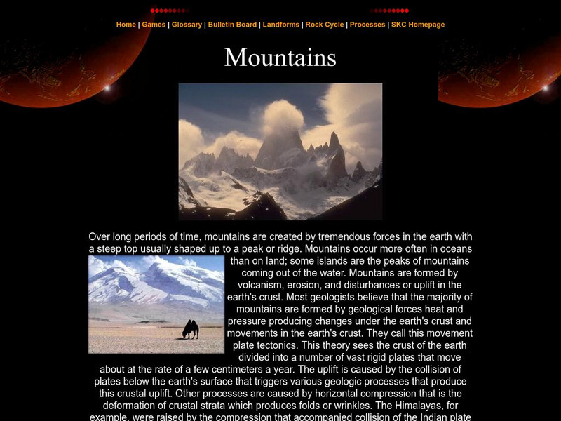
Southern Kings Consolidated School: Mountains
Site from the Southern Kings Consolidated School about mountains. Learn what mountains are and how they form.
CK-12 Foundation
Ck 12: Fourth Grade Science: Earth Science: Introduction to Earth's Surface
[Free Registration/Login may be required to access all resource tools.] Explains how to find a location and direction on Earth's surface. Discusses topography and various landforms and how they form.
PBS
Pbs Learning Media: Earth's Systems Collection: Bringing the Universe to America's Classroom
Explore different landforms and bodies of water around the world, observe and map landforms and water features, and practice observation and analysis skills through a virtual landscape and animated adventure in Plum's Island Explorer....
PBS
Pbs Learning Media: Mapping Landforms and Water Bodies: Lesson Plan
Learn about different landforms and water bodies and the various characteristics that make them distinct from one another in this lesson plan from WGBH. Navigate around a virtual island to unlock information -- including videos and...
PBS
Pbs Learning Media: Plum's Island Explorer: Land and Water
Navigate around the island to explore various landforms and water bodies in this interactive game from PLUM LANDING. Journey around the island and pick up trash to unlock information - including videos and ground-level and aerial images...
Science Education Resource Center at Carleton College
Serc: Mn Step: Rock Identification and Usage
In this activity, students explore rocks using their five senses. They sort them into groups, learn about landforms, and learn how rocks are used by humans. Their discoveries are recorded in their science notebooks.
Other
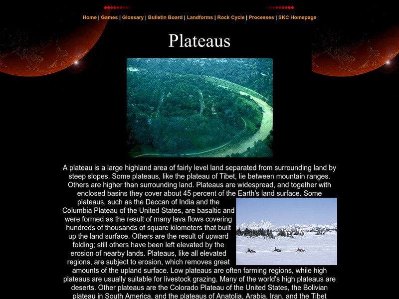
Southern Kings Consolidated School: Plateaus
This page by the Southern Kings Consolidated School provides a great description of a plateau, and includes several images of landscapes with plateaus.


