International Technology Education Association
Pixel This!
Did the image I drew match the image you saw? By simulating a satellite and a ground station, teams of two transmit data in the form of pixels in order to recreate an image. They use four different levels of brightness, creating slightly...
Curated OER
Exploring Biomes Lesson 1: Mapping Biomes
Environmental science learners examine satellite imagery of temperature, vegetation, precipitation, and productivity. They use these maps to understand how scientists divide the planet into major biomes. As part of a larger unit on...
Curated OER
Weather Lesson 6
Middle schoolers prepare a classroom weathercast and present a broadcast.
Curated OER
Annotating Change in Satellite Images
Learners construct a movie using Landsat images to observe changes over time on Earth. In this satellite images lesson, students observe changes in land use over time and document one type of change they observe. They produce an...
Curated OER
What Color is the Ocean?
Students view satellite pictures of the ocean, and discuss the presence of phytoplankton and the colors of the ocean. Students compare/contrast ocean satellite images with maps and globes, then color world maps to replicate the satellite...
Curated OER
Google Earth Scavenger Hunt
Students complete activities to learn how to use Google Earth and study Alaska. In this Google Earth lesson, students complete a Google Earth scavenger hunt to find facts about Alaska. Students complete two worksheets for the topic.
Curated OER
Satellite Images- Night Time
Fourth graders study the geography and population distribution of various places on earth. They utilize actual satellite images of the night sky (lights showing heavily around area of dense population) to study and make observations...
Other
Climate Change Institute: Climate Reanalyzer
Using interfaces for reanalysis and historical station data, the Climate Reanalyzer provides an intuitive platform for visualizing a variety of weather and climate data sets and models.
NASA
Nasa: Aerial Photography: The Adventures of Amelia the Pigeon
An animated adventure story, developed by NASA, that helps children understand earth science concepts by using satellite photography and other types of aerial photographs to identify physical features on the surface of the earth. Teaches...
University of Michigan
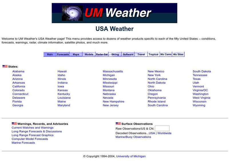
University of Michigan: Usa Weather
This site gives current weather information by state.
American Geosciences Institute
American Geosciences Institute: Earth Science Week: Engineer a Satellite
In this lesson, students will construct a scale model of a satellite by researching what scientific instrument to put on it and how to power it.


