Curated OER
Conditions at Sea Introductory Activity, Making Waves
Learners explore waves and wind. In this physical and earth science wave lesson, students participate in a wave making activity with an aquarium and a hair dryer. Learners complete a data chart recording wave height and related factors....
Curated OER
Weaving Weather Maps with the World Wide Web
Learners access the Internet and use real time data from the American Meteorological Society to create a detailed weather map. They make weather predictions based on the data collected.
Center for Innovation in Engineering and Science Education, Stevens Institute of Technology
Ciese: Tsunami Surge
In this Science project, students use real time data on the Internet to study tsunamis and what causes them. They will look at videos of real tsunamis such as the 2004 one in Southeast Asia. They will then devise a safety plan and a...
Center for Innovation in Engineering and Science Education, Stevens Institute of Technology
Ciese Navigational Vectors
For this project, students use real time data to learn how pilots navigate when they fly. Students go through a series of lessons on vectors, weather maps and flight tracking, then take a pilot's test where they apply what they have...
Center for Innovation in Engineering and Science Education, Stevens Institute of Technology
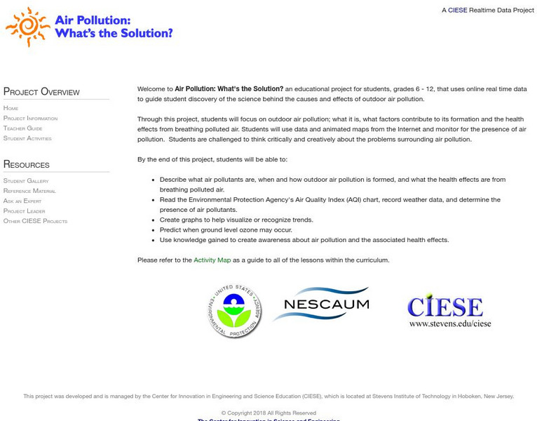
Ciese: Air Pollution: What's the Solution?
Outdoor air pollution poses a major threat to human health and threatens the ozone layer. Students will examine real time weather data in this extensive unit to learn how air quality is measured, its health impact on at-risk populations,...


