University of Texas at Austin
The Perry Castaneda Library Map Collection
This collection contains more than 250,000 maps covering all areas of the world, and ranging from political and shaded relief maps to the detailed and the historical. Select from a region of the world or an area of highlighted interest.
University of Texas at Austin
Perry Castaneda Library Map Collection: Indonesia
The Perry-Castaneda Library at the University of Texas provides an outstanding collection of maps of the country of Indonesia. PDFs (require Adobe Reader).
University of Texas at Austin
Perry Castaneda Library Map Collection: Iran
The Perry-Castaneda Library at the University of Texas provides an outstanding collection of maps of the country of Iran. Also links to maps from other online sources.
University of Texas at Austin
Perry Castaneda Library Map Collection: Iraq
The Perry-Castaneda Library at the University of Texas provides an outstanding collection of maps of the country of Iraq. Also links to maps from other online sources.
University of Texas at Austin
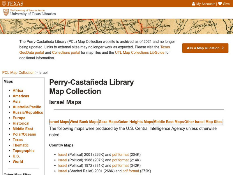
Perry Castaneda Library Map Collection: Israel
The Perry-Castaneda Library at the University of Texas provides an outstanding collection of maps of the country of Israel. Also links to maps from other online sources.
University of Texas at Austin
Perry Castaneda Library Map Collection: Japan
The Perry-Castaneda Library at the University of Texas provides an outstanding collection of maps of the country of Japan. Also links to maps from other online sources.
Other
Climate Change Institute: Climate Reanalyzer
Using interfaces for reanalysis and historical station data, the Climate Reanalyzer provides an intuitive platform for visualizing a variety of weather and climate data sets and models.
National Geographic
National Geographic: My Wonderful World: World Wall Maps (Pdf)
Make your own full color or black and white mosaic wall map on your own printer. World maps, continents, Asian regions, and oceans are available for downloading, printing, and assembling.
Latimer Clarke Corporation
Atlapedia Online
This site provides both physical and political maps of countries of the world in full color. Also contains key facts and statistics.
Math Science Nucleus
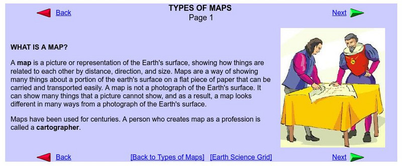
What Is a Map?
Do you want to know what a map is? If you look here, you will find why we have them and their uses.
Microsoft
Microsoft: Map Reading in the 21st Century
Students learn how to make informed use of new digital mapping information and tools. Learners create hands-on learning experiences for understanding the relevance of maps. The lesson plan consists of student activities, resources,...
US Geological Survey
Usgs: Trends in Ground Water Use, 1950 2005
This site from USGS describes the importance of ground-water, provides a map of ground-water use (by state), a map of the percent of total withdrawals coming from ground water, and a map of the percent of public-supplied population...
Other
Quiz Hub: u.s. Map Game
Test your knowledge of United States geography by playing this U.S. map game. Game is timed.
Sophia Learning
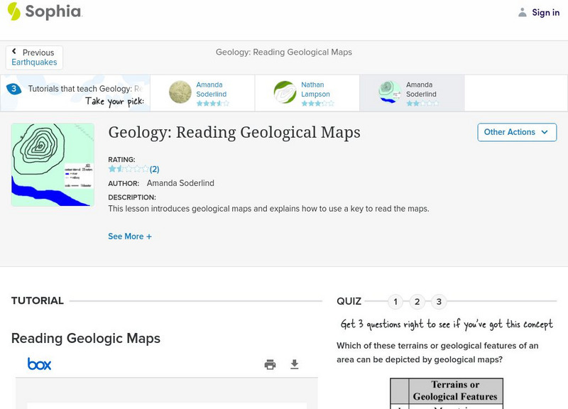
Sophia: Geology: Reading Geological Maps: Lesson 3
This lesson introduces geological maps and explains how to use a key to read the maps. It is 3 of 3 in the series titled "Geology: Reading Geological Maps."
Other
Classroom Clipart
Thousands of free images in a wide variety of categories. Plus, there's an extensive lesson plan search for every subject area.
Ducksters
Ducksters: Geography for Kids: Zambia
On this webpage, students can learn about the Geography of Zambia. The history, capital, flag, climate, terrain, people, economy, and population.
Ducksters
Ducksters: Geography for Kids: South America
Explore the flags, maps, exports, natural resources, geography, and languages of South America on this site.


