Oklahoma Historical Society
Oklahoma Historical Society: Chickasaw
The history of the Chickasaw Nation in Oklahoma began in 1818 when tribal leaders signed the Treaty of Old Town, ceding their lands in western Kentucky and Tennessee. Years of negotiations with the U.S. government led to failure to...
PBS
Pbs Nature: Ray
The word "manta" means blanket in Spanish--and the Manta ray gets its name from its blanketlike appearance in the water. Learn all about their life cycle and habitat in text and pictures.
Alabama Learning Exchange
Alex: Text to Self and Text to World Connections
Students will further their reading comprehension by associating real-life events with the events of a story.
State Library of North Carolina
N Cpedia: Lake Mattamuskeet
Lake Mattamuskeet-so named by Algonquian Indians-is North Carolina's largest natural lake. The ancient body of water has not escaped man's intervention. Originally, Mattamuskeet was a shallow, self-contained lake without creeks or rivers...
State Library of North Carolina
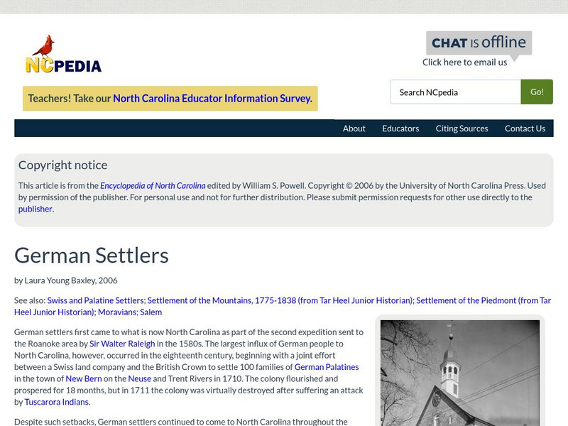
N Cpedia: German Settlers
German settlers first came to what is now North Carolina as part of the second expedition sent to the Roanoke area by Sir Walter Raleigh in the 1580s. The largest influx of German people to North Carolina, however, occurred in the...
Ducksters
Ducksters: Biography for Kids: Maria Tallchief
Investigate the biography of Maria Tallchief on this site. Learn about the first Native American Indian to become a prima ballerina dancer.
Encyclopedia Britannica
Encyclopedia Britannica: Stokely Carmichael
This entry from Encyclopedia Britannica features Stokely Carmichael, a West-Indian-born civil-rights activist, leader of black nationalism in the United States in the 1960s and originator of its rallying slogan, "black power.".
Other
The Dalton School: Map of Trade Routes
This site is simply a map illustrating the trade routes in the First Century AD. Different colors depict the great empires of the time, making it easy to interpret.
Yale University
Avalon Project: Treaty With Kiowa, Comanche and Apache; Oct. 21, 1867
Actual text of the Medicine Lodge Treaty, which establishes an Apache reservation, promises to establish reservation schools and increases annual payments of money and supplies.
Other
Genealogy Trails History Group: Fort Mims
Timeline of The Battle of Fort Mims featuring maps and correspondence from Dr. Neal Smith detailing the fall of Fort Mims.
Other
Chinook Nation: Homepage
This current website for the Chinook Nation contains information on past and future events and tribal members.
PBS
Pbs the West: Big Foot (?? 1890)
This article focuses on the massacre of Chief Big Foot and his followers at the Massacre of Wounded Knee.
Other
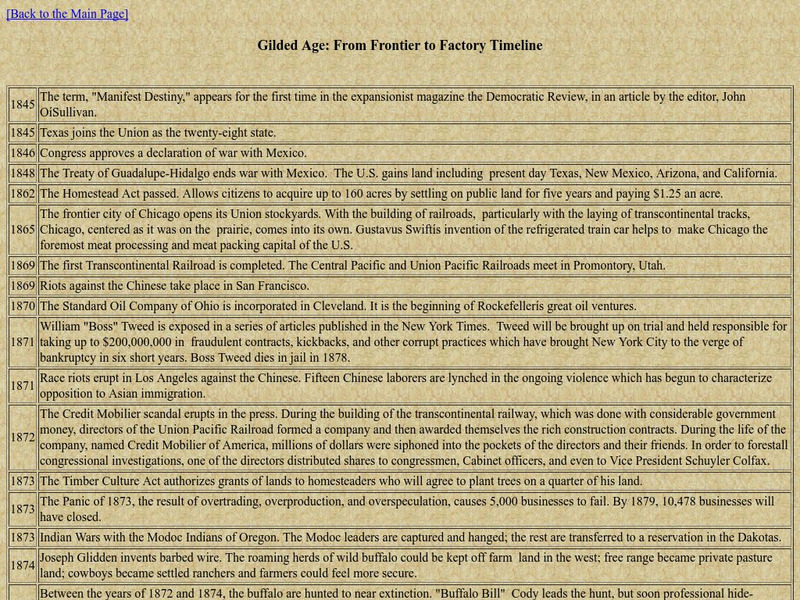
Gilded Age: From Frontier to Factory Timeline 1845 1916
A timeline that lists major events in culture, military, industry, and politics across three-quarters of a century.
American Museum of Natural History
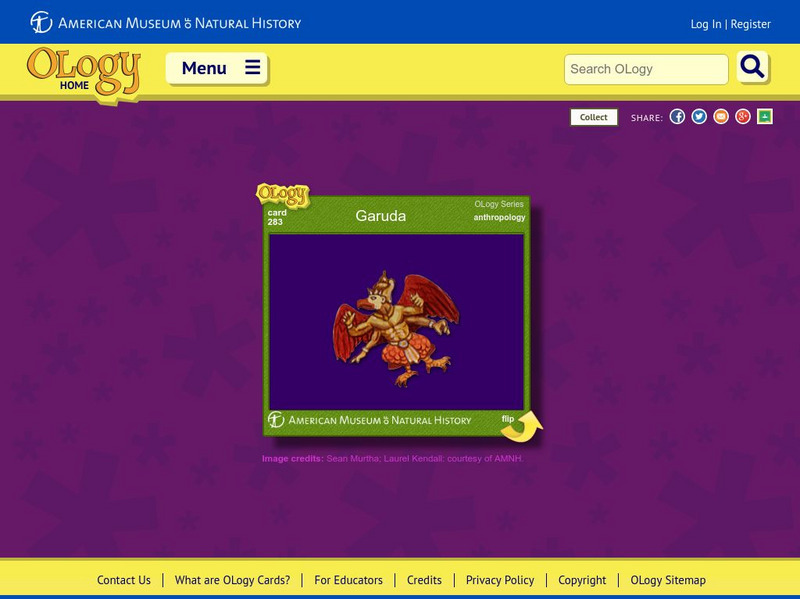
American Museum of Natural History: O Logy: Garuda
Garuda, a mythic bird-like creature, is an important figure in Hindu mythology, but you can find out what other cultures have adopted this mythological bird. Flashcard format.
My Learning
My Learning: Journey Through India and Pakistan
Normally when we think of public art we think of something displayed outside in a stationary position. Not so in the case of Pakistan! Check out their decorated trucks discovered traveling on the Grand Trunk Road.
Curated OER
Educational Technology Clearinghouse: Maps Etc: Fort Schuyler and Vicinity, 1777
A map of Fort Schuyler (Fort Stanwix) and vicinity at the southern end of Lake Oneida and Mohawk River, site of the Battle of Oriskany (August 6, 1777). The map shows the events of this battle, and is keyed to show: (A) Fort Schuyler;...
Curated OER
Educational Technology Clearinghouse: Maps Etc: Smith's Map of New England, 1616
A facsimile of an early map of New England as observed by Captain John Smith in 1616. The map covers the coastline from Cape James (Cape Cod) and Stuards Bay (Cape Cod Bay) north to Pembrocks Bay, and includes the inscription "The most...
Curated OER
Etc: Native American Delimitations, 1763 1770
A map of the American colonies and territories west to the Mississippi River between the end of the French and Indian War of 1763 and the beginnings of westward expansion of the trans-Appalachian colony proposed in the Vandalia Project...
Curated OER
Educational Technology Clearinghouse: Maps Etc: Montana, 1902
A map from 1902 of Montana showing the capital of Helena, major cities and towns, Indian reservation boundaries, railroads, rivers, and mountains.
Curated OER
Educational Technology Clearinghouse: Maps Etc: Montana, 1906
A map from 1906 of Montana showing the capital of Helena, major cities and towns, Indian reservations, railroads, rivers, and mountains. The boundaries of Yellowstone National Park, primarily in Wyoming, are shown.
Curated OER
Educational Technology Clearinghouse: Maps Etc: Montana, 1922
A map from 1922 of Montana showing the capital of Helena, major cities and towns, Indian reservations, railroads, rivers, and mountains. The boundaries of Yellowstone National Park, primarily in Wyoming, are shown.
Curated OER
Educational Technology Clearinghouse: Maps Etc: Montana, 1891
A map from 1922 of Montana showing the capital of Helena, major cities and towns, Indian reservations, railroads, rivers, lakes, and mountains. The boundaries of Yellowstone National Park, primarily in Wyoming, are shown.
Curated OER
Educational Technology Clearinghouse: Maps Etc: Montana, 1909
A map from 1909 of Montana showing the capital of Helena, major cities and towns, Indian reservations, railroads, rivers, lakes, and mountains. The boundaries of Yellowstone National Park, primarily in Wyoming, are shown.
Curated OER
Educational Technology Clearinghouse: Maps Etc: Montana, 1892
A map from 1892 of Montana showing the capital of Helena, counties and county seats, major cities and towns, Indian reservations, railroads, rivers, and mountains. An inset map details Yellowstone National Park, primarily in Wyoming.


