University of Texas at Austin
The Perry Castaneda Library Map Collection
This collection contains more than 250,000 maps covering all areas of the world, and ranging from political and shaded relief maps to the detailed and the historical. Select from a region of the world or an area of highlighted interest.
University of Texas at Austin
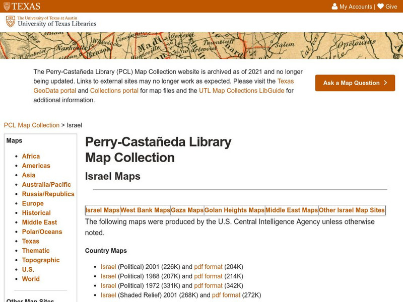
Perry Castaneda Library Map Collection: Israel
The Perry-Castaneda Library at the University of Texas provides an outstanding collection of maps of the country of Israel. Also links to maps from other online sources.
University of Texas at Austin
Perry Castaneda Library Map Collection: Japan
The Perry-Castaneda Library at the University of Texas provides an outstanding collection of maps of the country of Japan. Also links to maps from other online sources.
University of Texas at Austin
Perry Castaneda Library Map Collection: Iran
The Perry-Castaneda Library at the University of Texas provides an outstanding collection of maps of the country of Iran. Also links to maps from other online sources.
University of Texas at Austin
Perry Castaneda Library Map Collection: Iraq
The Perry-Castaneda Library at the University of Texas provides an outstanding collection of maps of the country of Iraq. Also links to maps from other online sources.
University of Texas at Austin
Perry Castaneda Library Map Collection: Indonesia
The Perry-Castaneda Library at the University of Texas provides an outstanding collection of maps of the country of Indonesia. PDFs (require Adobe Reader).
NPR: National Public Radio
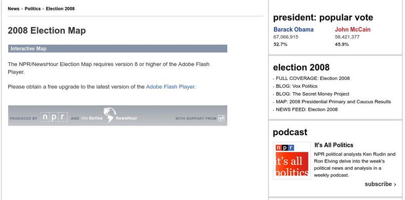
Npr: 2008 Election Map of Primaries
Great interactive map that shows primary and caucus results for the 2008 Presidential election plus House, Senate, and Governor elections. Click on a state for up to date news stories.
United Nations
Unesco: Interactive Map of the Cities Along the Silk Roads
A map showing the locations of cities that participated in trade along the Silk Roads, stretching from Italy to Japan. Each red dot is provides information about the location and links to a UNESCO page with more in-depth information...
University of Texas at Austin
Perry Castaneda Library Map Collection: u.s. Maps
At this site find any type of map on the U.S. and any of its states here. Great site for teachers to print out maps to use in the classroom.
National Geographic
National Geographic: My Wonderful World: World Wall Maps (Pdf)
Make your own full color or black and white mosaic wall map on your own printer. World maps, continents, Asian regions, and oceans are available for downloading, printing, and assembling.
Other
The World of Dante: Map Images
Interactive map images from Dante's "Inferno." With reproduced maps of Italy from the time of Dante's life (1300s).
PBS
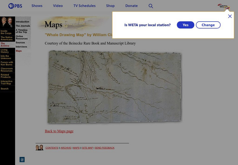
Pbs: Lewis and Clark: "Whale Drawing Map" by William Clark
See this map drawn by William Clark of where the men from the Corps of Discovery found the whale which the Tillamook Indians told them about. From PBS.
Sophia Learning
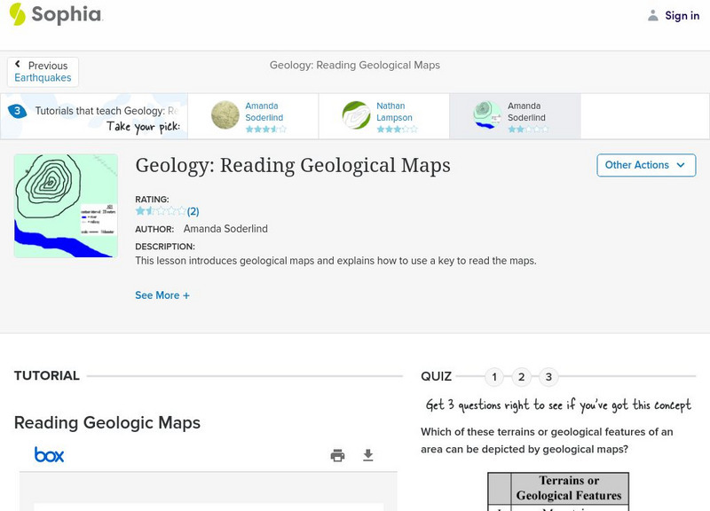
Sophia: Geology: Reading Geological Maps: Lesson 3
This lesson introduces geological maps and explains how to use a key to read the maps. It is 3 of 3 in the series titled "Geology: Reading Geological Maps."
Other
Reading Quest: Strategies for Reading Comprehension: Concept of Definition Map
Sometimes teaching students about creating definitions is difficult because they do not understand about multiple meanings or depth in meaning. This is a chance to teach students, using the concept map included, how to create definitions...
National Geographic
National Geographic: Exploring the Chesapeake: Then and Now
Resource provides an interactive map that takes you to places on the Chesapeake Bay that John Smith explored and you find out the historical events that occurred. Pictures and drawings of time accompany the explanations.
Houghton Mifflin Harcourt
Holt, Rinehart and Winston: Estados Unidos
Easy-to-read Spanish map of the United States with country information below. A nice site with links to the States and the rest of the world's countries as well!
Other
Nps: Battles in the South, 1778 1781 [Pdf]
A great map showing the battles fought in the South in the Revolutionary War. From the National Park Service.
Other
The Dalton School: Map of Trade Routes
This site is simply a map illustrating the trade routes in the First Century AD. Different colors depict the great empires of the time, making it easy to interpret.
Curated OER
Educational Technology Clearinghouse: Maps Etc: The Early United States, 1790
A map of the United States in 1790 showing the territorial claims of the states at the time, and the British and Spanish possessions and territory disputes. The map shows the frontier lines or extent of settlement from the coast of Maine...
Curated OER
Educational Technology Clearinghouse: Maps Etc: Somerset Dorset, 1908
A detailed travel map of southwestern England from 1908, showing the portions of Somerset and Dorset counties. The map shows first class and secondary roads, railways, cities, towns, coastal and terrain features of the area. This map...
Curated OER
Educational Technology Clearinghouse: Maps Etc: Yorkshire Coast, 1908
A detailed travel map of the Yorkshire coast, England from 1908, showing North Riding and East Riding districts. The map shows first class and secondary roads, railways, cities, towns, coastal and terrain features of the area. This map...
Curated OER
Educational Technology Clearinghouse: Maps Etc: England Plate Ii, 1920
A regional map of northern England from 1920, showing major cities, towns, and ports, railways and canals, and counties with the county boroughs underlined in red. The map shows major rivers and prominent peaks with elevations in feet....
Curated OER
Educational Technology Clearinghouse: Maps Etc: England Plate Iv, 1920
A regional map of southwestern England from 1920, showing major cities, towns, and ports, railways and canals, and counties with the county boroughs underlined in red. The map shows important battle sites, major rivers, prominent...
Curated OER
Educational Technology Clearinghouse: Maps Etc: Aberdeen & Banff, 1908
A detailed travel map of Scotland in 1908, showing portions of counties Banff, Aberdeen, and Kincardine. The map shows first class and secondary roads, railways, cities, towns, ports, rivers, terrain, and coastal features of the area....


