Oregon State University
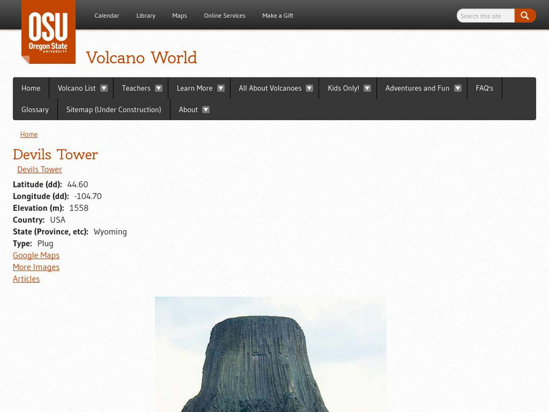
Volcano World: Devil's Tower National Monument
A brief description of Devil's Tower National Monument in Wyoming. Information for this site was provided by the National Park Service.
Curated OER
Wikipedia: National Historic Landmarks in California: Rangers' Club
Stephen Tyng Mather, the wealthy first director of the National Park Service personally donated this building to house the newly hired rangers covering Yosemite National Park. Its rustic architecture inspired all National Park...
Curated OER
Wikipedia: National Historic Landmarks in California: c.a. Thayer (Schooner)
Schooner built in 1895; now preserved at the San Francisco Maritime National Historical Park; worked in lumber trade to San Francisco from Washington, Oregon, and Northern California. Official plaque located in the San Francisco Maritime...
Curated OER
Educational Technology Clearinghouse: Maps Etc: St. Louis, 1911
A map from 1911 of the vicinity of St. Louis, Missouri, showing major streets and roads, railroads and stations, neighboring cities and towns, parks, and major landmarks. The map shows St. Louis, Missouri, separated by the Mississippi...
Curated OER
Educational Technology Clearinghouse: Maps Etc: Montana, 1906
A map from 1906 of Montana showing the capital of Helena, major cities and towns, Indian reservations, railroads, rivers, and mountains. The boundaries of Yellowstone National Park, primarily in Wyoming, are shown.
Curated OER
Educational Technology Clearinghouse: Maps Etc: Montana, 1922
A map from 1922 of Montana showing the capital of Helena, major cities and towns, Indian reservations, railroads, rivers, and mountains. The boundaries of Yellowstone National Park, primarily in Wyoming, are shown.
Curated OER
Educational Technology Clearinghouse: Maps Etc: Montana, 1891
A map from 1922 of Montana showing the capital of Helena, major cities and towns, Indian reservations, railroads, rivers, lakes, and mountains. The boundaries of Yellowstone National Park, primarily in Wyoming, are shown.
Curated OER
Educational Technology Clearinghouse: Maps Etc: Montana, 1909
A map from 1909 of Montana showing the capital of Helena, major cities and towns, Indian reservations, railroads, rivers, lakes, and mountains. The boundaries of Yellowstone National Park, primarily in Wyoming, are shown.
Curated OER
Educational Technology Clearinghouse: Maps Etc: Montana, 1892
A map from 1892 of Montana showing the capital of Helena, counties and county seats, major cities and towns, Indian reservations, railroads, rivers, and mountains. An inset map details Yellowstone National Park, primarily in Wyoming.
Curated OER
Educational Technology Clearinghouse: Maps Etc: Montana, 1919
A map from 1919 of Montana showing the capital of Helena, counties and county seats, major cities and towns, Indian reservations, railroads, rivers, and mountains. An inset map details Yellowstone National Park, primarily in Wyoming.
Curated OER
Educational Technology Clearinghouse: Maps Etc: Montana, 1920
A map from 1920 of Montana showing the capital of Helena, counties and county seats, major cities and towns, Indian reservations, railroads, rivers, and mountains. The boundaries of Yellowstone National Park, primarily in Wyoming, are...
Curated OER
Educational Technology Clearinghouse: Maps Etc: Montana, 1920
A map from 1920 of Montana showing the capital of Helena, counties and county seats, major cities and towns, Indian reservations, military reservations, railroads, rivers, and mountains. The boundaries of Yellowstone National Park,...
Curated OER
Educational Technology Clearinghouse: Maps Etc: Montana, 1914
A map from 1914 of Montana showing the capital of Helena, counties and county seats, major cities and towns, Indian reservations, military reservations, railroads, rivers, and mountains. An inset map details Yellowstone National Park,...
Curated OER
Educational Technology Clearinghouse: Maps Etc: Montana, 1920
A map from 1920 of Montana showing the capital of Helena, counties and county seats, major cities and towns, Indian reservations, military reservations, railroads, rivers, and mountains. The boundaries of Yellowstone National Park,...
Curated OER
Educational Technology Clearinghouse: Maps Etc: Montana, 1904
A map from 1904 of Montana showing the capital of Helena, major cities and towns, railroads, rivers, and mountains. The boundaries of Yellowstone National Park, primarily in Wyoming, are shown. "Montana was organized as a Territory in...
Curated OER
Educational Technology Clearinghouse: Maps Etc: Plan of Norwich, 1903
A plan of Norwich, England, from 1903, the capital of the county of Norfolk. The map shows the location of the River Wensum, roads, railroads, parks, cemetery, the castle, cathedral, churches, and various buildings and other important...
Curated OER
Educational Technology Clearinghouse: Maps Etc: Plan of Nottingham, 1903
A plan of the English city of Nottingham from 1903, showing roads, railways and railway stations, parks, cemeteries, the castle, colleges, churches, museums and various buildings and other important places.
Curated OER
A View on Cities: Barcelona: Equestrian Statue of General Prim
Equestrian Statue of General Prim in the Citadel Park (Barcelona)
Curated OER
A View on Cities: Rome: Aesculapius Temple
Aesculapius temple in the Park of the Villa Borghese (Rome)
Curated OER
Wikipedia: National Historic Landmarks in California: Coloma
Town where the California Gold Rush when James W. Marshall discovered gold at Sutter's mill on January 24, 1848. Now a ghost town, it is a significant part of the Marshall Gold Discovery State Historic Park.
Curated OER
Wikipedia: National Historic Landmarks in New York: Thomas Moran House
Home of the Hudson River School painter Thomas Moran who helped inspire the creation of the National Park system.


