Curated OER
Water Resources
Students explore the differences between surface water and ground water. They collect data using maps and graphs and investigate a Texas river basin and a nearby aquifer. They complete a written report of their findings regarding the...
Curated OER
"Global Relations"
Students explain the difference between each of three major ecosystems. They determine the flow of water in the St. Mary's River as it flows out of the river into the bay, and finally out into the Atlantic Ocean and identify where...
Curated OER
Oak Ridges Moraine: Southern Ontario's Sponge
Learners examine the characteristics of the Oak Ridge Moraine in Canada. Using a map, the locate the moraine and present and defend a position on how the resources found there should be used. They must use proper geography terminology...
Curated OER
How Clean Is Our Water?
Students examine samples of water to determine its cleanliness. They visit a waste treatment plant and/or reservoir. Students explore what protects the water supply from contamination by chemical or organize pollution. They trace the...
Curated OER
Locating the Salt Front
Young scholars use Hudson River salinity data to create a line
graph that shows the location of the salt front, and use math
skills to explore how this location varies over time. They use the graph to estimate the location of the salt...
Curated OER
Is it Alive?
Students watch a demonstration using Duco glue and water and try to determine if the "monster" shown is alive. After the demonstration, they discuss what characteristics make an organism "alive". They participate in a card sorting...
NOAA
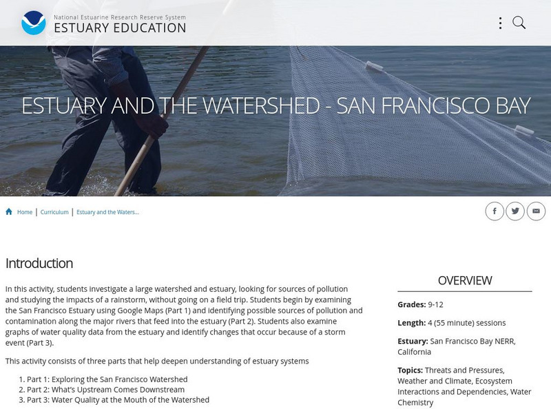
Noaa: Estuaries 101 Curriculum: Estuary and the Watershed San Francisco Bay
In this activity, students investigate a large watershed, look for sources of pollution in the watershed, and study the impacts of a rain storm on a watershed and estuary, without going on a field trip. Students investigate the nature of...
US Environmental Protection Agency
Epa: Build Your Own Watershed
How can you learn to build your own watershed? This site features an activity to illustrate the basic properties of a watershed. Don't miss out.
Science Education Resource Center at Carleton College
Serc: Minnesota Watersheds
In this lesson, students will understand that water flows down a slope and determines how watersheds flow. They will also learn that water flows in three basic directions and that each watershed is divided by the area's higher elevations...
Utah Education Network
Uen: Water Pollution Graphing: Bugs Don't Bug Me
Activity shows the link between land use activities within a watershed and water quality.
National Geographic
National Geographic: A River Puzzle
Use this lesson plan from National Geographic Education to explore rivers and their watersheds, using where they live as an example. Necessary vocabulary for the lesson is included as well as a puzzle for students to figure out that...
BSCS Science Learning
Bscs: Chesapeake Bay Algal Blooms
In this inquiry, students engage with mapping data to determine what kind of land coverage is contributing the most to harmful algal blooms in the Chesapeake Bay Watershed. Click on the link for teacher resources for teaching guides and...
BSCS Science Learning
Bscs: Asking and Answering Questions With Data
This inquiry is intended to provide students with practice developing investigable questions that need data, and specifically large datasets, to be answered. Click the teacher resources link for teaching guides and student handouts.
EL Education
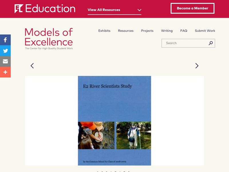
El Education: E2 River Scientist Study
This book was created by fifth and sixth grade students at in Amherst, Massachusetts. As part of study of the local watershed, students interviewed and worked with local scientists who were involved with studying and promoting the health...
US Geological Survey
U.s. Geological Survey: Groundwater Information by Topic
A massive amount of information about groundwater. Topics covered include groundwater basics, humans and groundwater, groundwater quality, and its place in the water cycle. Includes true-and-false quiz and a Q&A section, as well as a...
BSCS Science Learning
Bscs: Restoring Oyster Reefs
After learning about the role of oysters in an estuary ecosystem and a population decline that oysters have faced over time from overharvesting and pollution, students work with data to determine where are ideal sites for restoring...
Curated OER
Etc: Native American Delimitations, 1763 1770
A map of the American colonies and territories west to the Mississippi River between the end of the French and Indian War of 1763 and the beginnings of westward expansion of the trans-Appalachian colony proposed in the Vandalia Project...
Curated OER
Educational Technology Clearinghouse: Maps Etc: England and Wales, 1904
A geo-political map of England and Wales that shows country borders current to 1904, major cities, railroad lines, canals and navigable rivers. Hadrian's Wall is shown, referred to on the map as the Roman Wall. Physical features such as...


